
1
Screenshots & videos
About
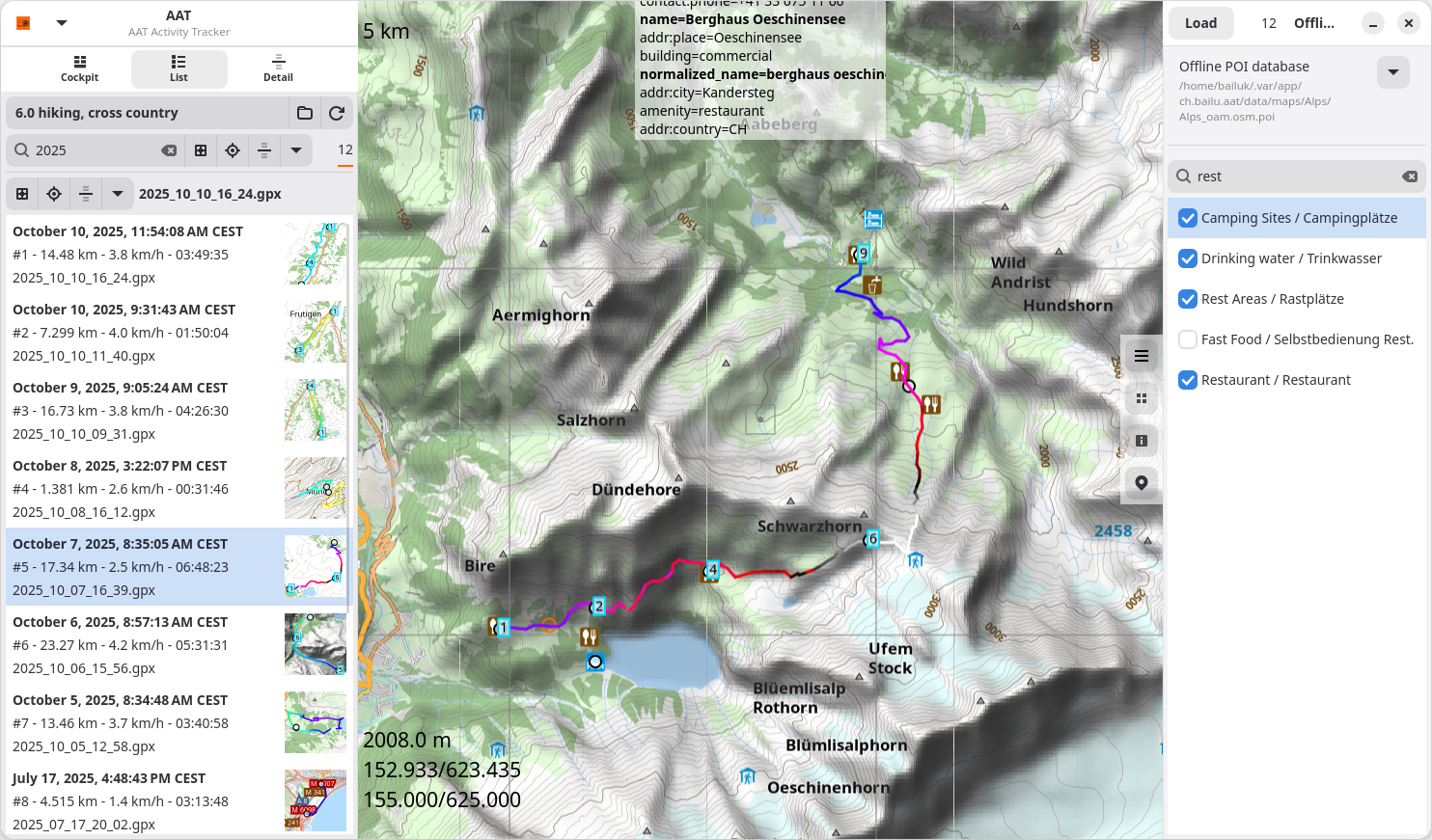
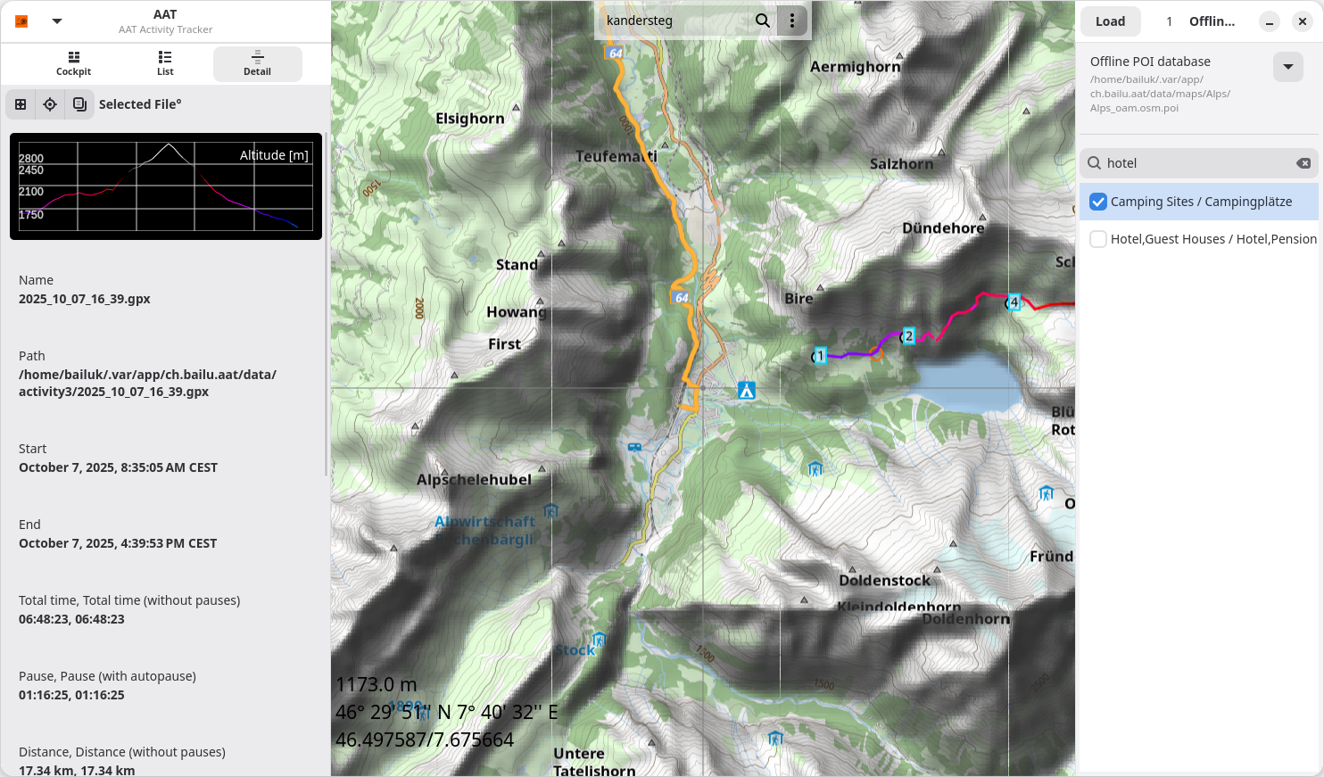
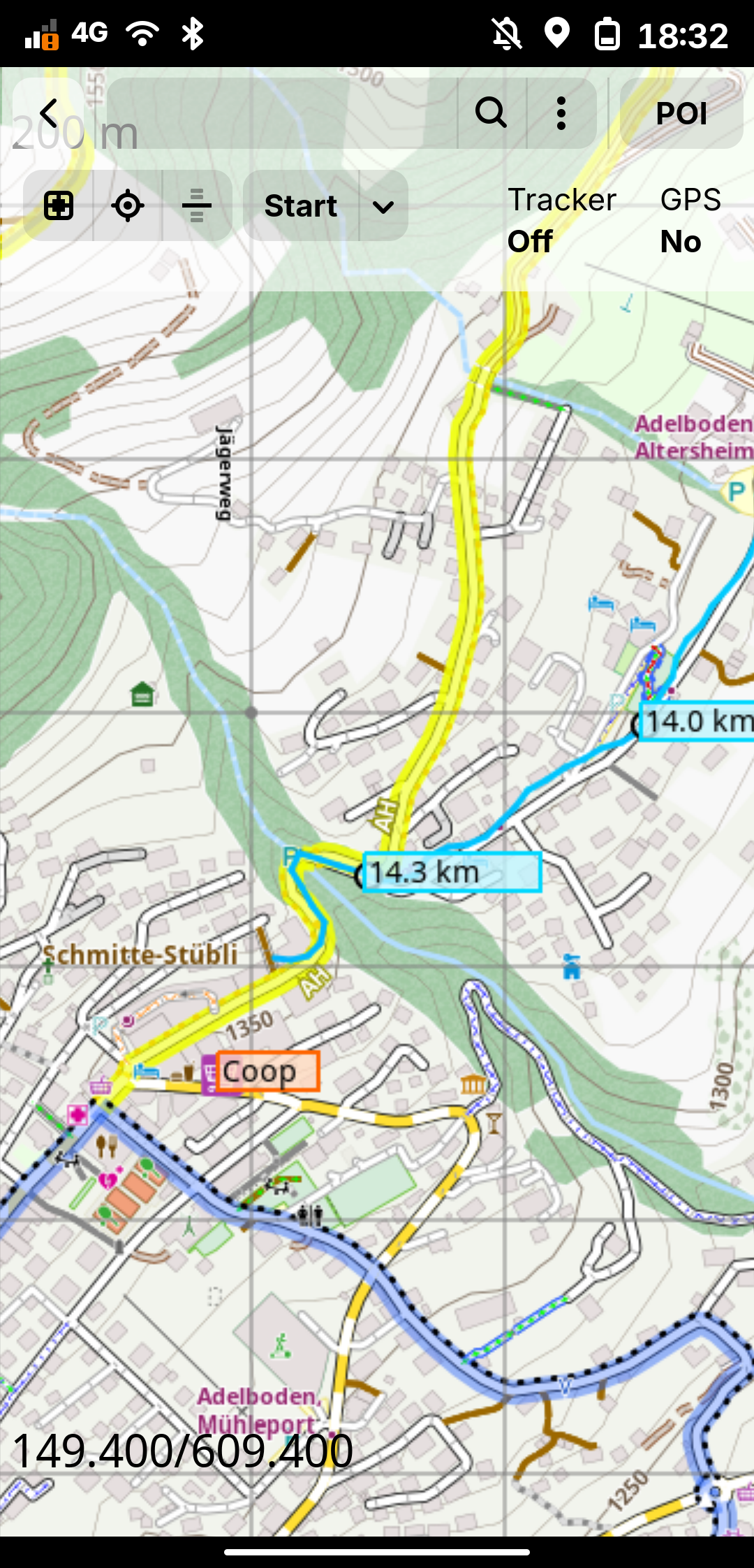
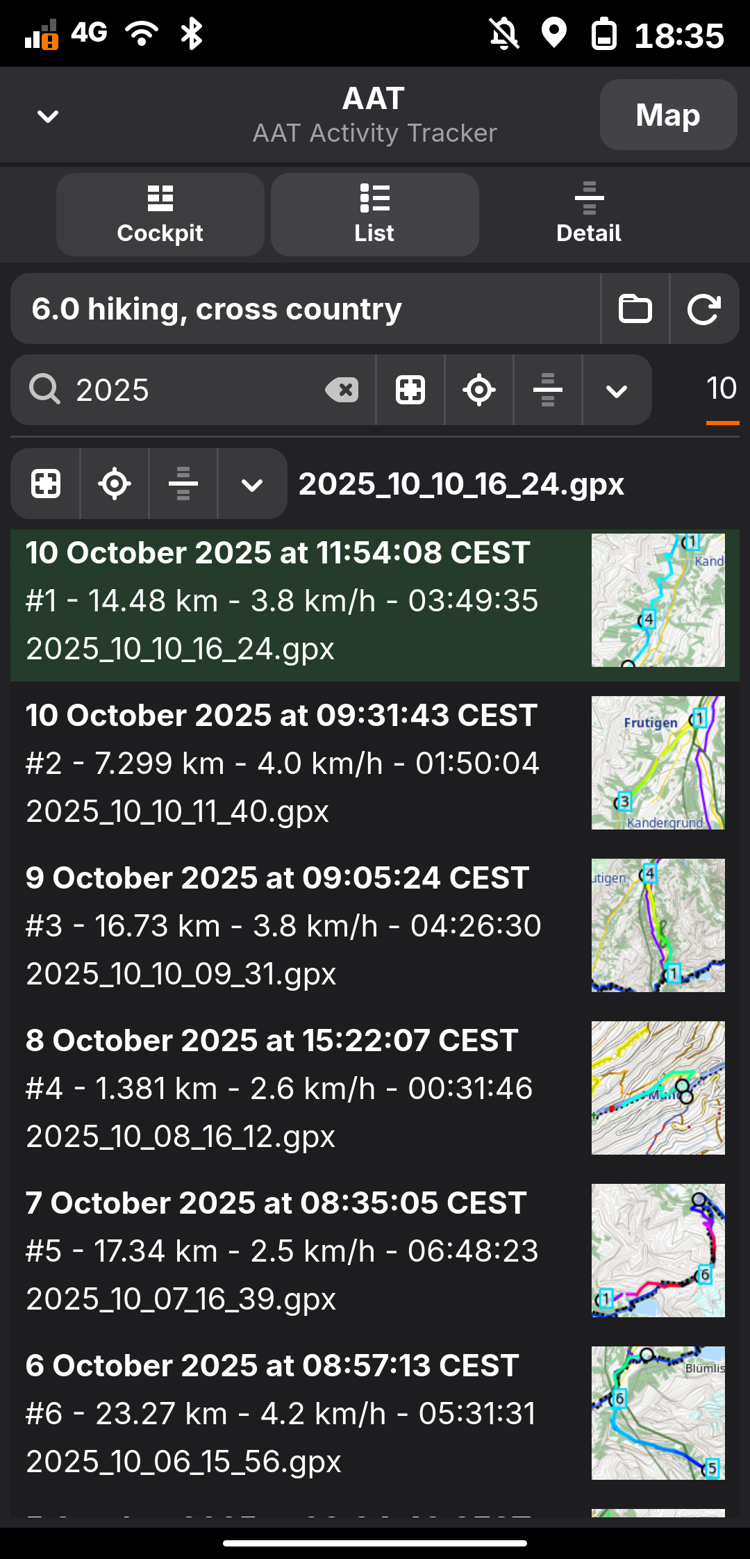
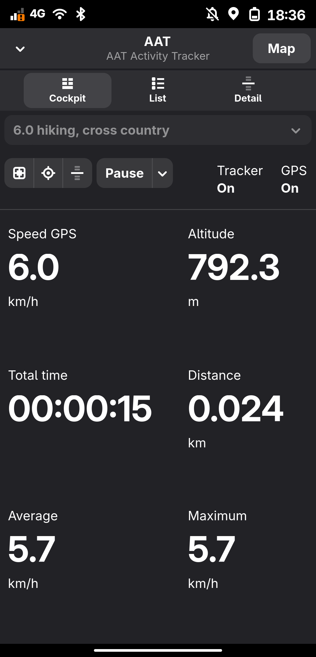
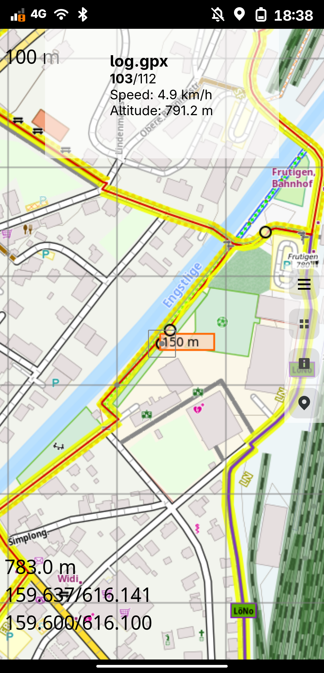
Track sportive activities while displaying them on cockpit and map view. Store tracks in standard GPX format for sharing with other application. Display offline as well as tile based maps. Tile based overlays for displaying cycle and hiking routes (Waymarked Trails) Integration of Offline POI and Nominatim map search. Display Offline POIs from Mapsforge compatible Databases. Simple GPX editor for quick route planning. GPS independent altitude information and hill shading.
Changelog
v1.30.1 (45) - Fix gpx-list crash when there is an empty gpx file
Additional information
- Developer
- bailuk
- License
- GPL-3.0-or-later
- Category
- Utilities
- Size
- 105.7 MB
- Homepage
- https://github.com/bailuk/AAT
- Available via
- Flathub (Flatpak)
- Catalog data as of
- 9/3/2026 (dataset snapshot date — per-app update dates aren't tracked yet)